Tamarack Restoration Project FEMA Floodplain Map Revisions
August 10, 2023
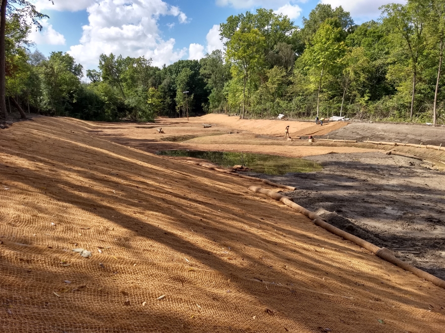
The City of Southfield Engineering Department, in accordance with National Flood Insurance Program regulation 65.7(b)(1),] hereby gives notice of the City’s intent to revise the flood hazard information, generally located between Northwestern Highway and Norwood Drive. Specifically, the flood hazard information will be revised along Tamarack Creek from its point of origin at the 6.7-foot by 9.5-foot Michigan Department of Transportation (MDOT) stormwater outfall pipe (which is located on the west side of Northwestern Highway between 10-Mile Road and Evergreen Road) to a point approximately 2,100 feet downstream (southwest) of the MDOT outfall.
The proposed map revisions are needed to account for relatively small shifts in the regulated floodplain extents due to two main sources: 1) floodplain grading and culvert removal that occurred during the 2022 stream restoration project and 2) hydraulic model updates that incorporate more recent and more detailed topographic survey data than the previous FEMA model, which was developed in the 1970’s. The hydraulic analysis indicated that flood stages will not increase (flood water depths will be shallower) as a result of the revisions and proposed shifts in the regulated floodplain and floodway boundaries will not adversely affect property owners.
As a result of the revision:
- Base Flood Elevations (BFEs) will decrease along Tamarack Creek (flood water depths will be shallower).
- The floodplain and floodway limits will be revised along Tamarack Creek.
Interested persons may call Brandy Bakita Siedlaczek, CSM, Storm Water Manager, City of Southfield Engineering Department, at (248) 769-4806, from 9:00 AM to 5:00 PM, for additional information and to schedule a date and time to review the map revisions, if desired.
Tamarack Restoration Project FEMA Floodplain Map (PDF)