Southfield Launches FlySafe Initiative to Support Safe Drone Use
April 20, 2026
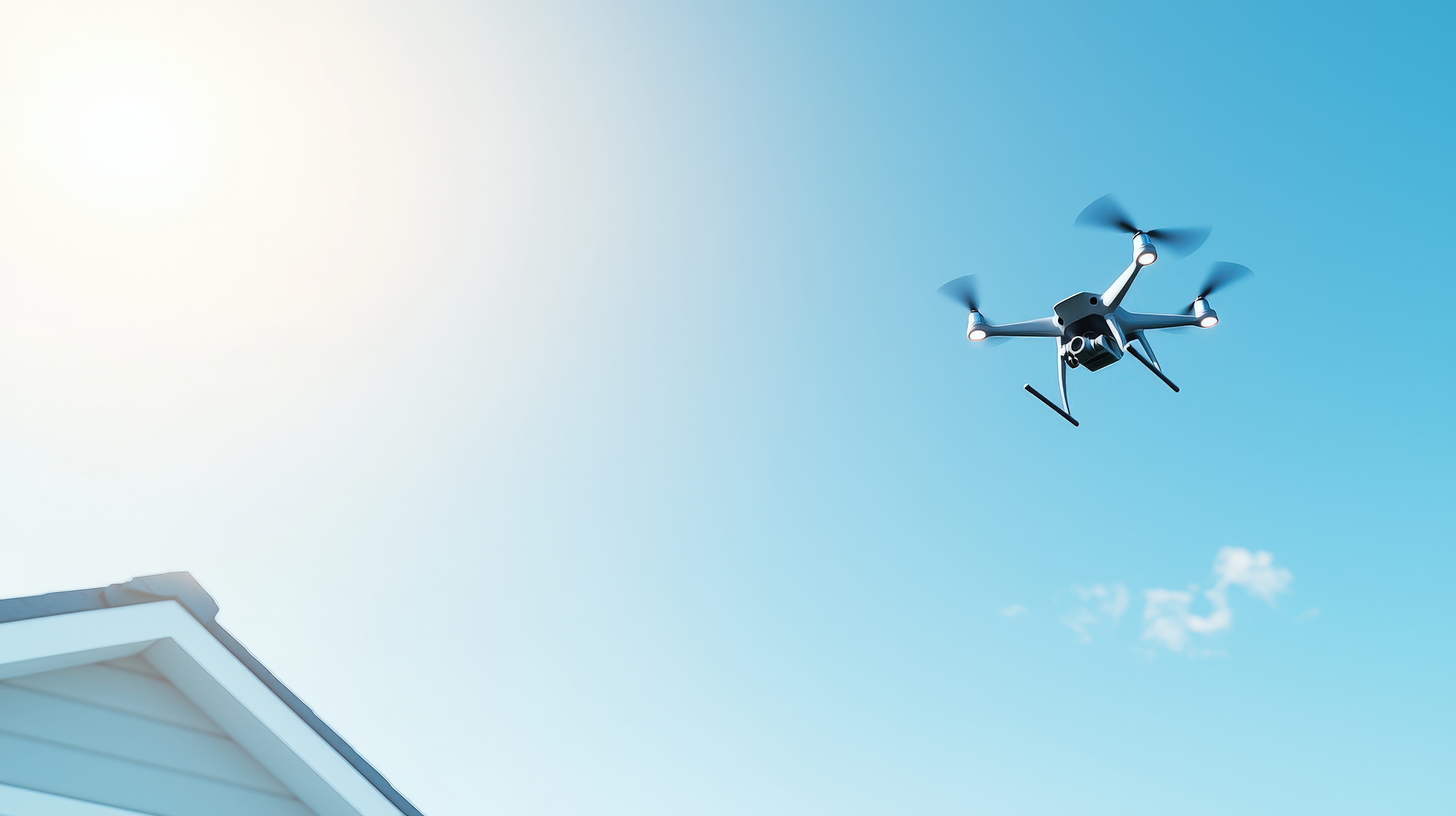
As drone use continues to grow across Southfield for recreation, business, and public safety, the City is introducing a new tool to help residents stay informed and safe.
The Southfield FlySafe Drone Ready Initiative provides residents, visitors, and drone operators with real time information about where drones can and cannot fly within the city.
Powered by Airspace Link in partnership with the Federal Aviation Administration, the FlySafe platform features an interactive map that displays local airspace conditions, restricted areas, and safety advisories all in one place.
Helping Residents Stay Informed
Drones are becoming a more visible part of everyday life. The FlySafe initiative helps residents better understand what is happening in the airspace around them while supporting responsible drone use across the community.
Whether you are flying a drone or simply want to stay informed, FlySafe offers a clear and accessible way to explore local airspace
What You Can Do with FlySafe
With the FlySafe tool, users can:
- View areas where drone flights are permitted or restricted
- Check local advisories and airspace conditions
- Access guidance aligned with federal safety standards
- Plan flights using accurate and real time information
Focused on Safety and Transparency
The FlySafe initiative is designed with community trust in mind.
The platform:
- Does not track individuals
- Does not collect personal data
- Does not monitor drone activity
All information is based on FAA approved systems and publicly available data.
Explore the FlySafe Map
Residents and drone users are encouraged to explore the interactive map and learn more about safe drone operations in Southfield.
Check where it is safe to fly before you launch.